
Warrington Township Neighbors by Block
Public records answer different questions about the block around one Warrington Township address. The GIS Viewer can select nearby mapped parcels. The County tax portal can supply a card for one selected parcel. The Recorder can identify transfers linked to the parcel's legal description. A voter-file request has its own defined products and statutory attestation. These sources can establish parcel and record facts, but they do not provide a complete household list or prove that every named owner is a current occupant.
| Block source | What it shows around an address | Access |
|---|---|---|
| Bucks Parcel & Floodplain Viewer | Nearby parcels selected by map, buffer, and enabled attributes | Public map and export controls. |
| GIS Layer List and Attribute Table | Parcel boundaries, address, municipality, and available layer attributes | Public map controls. |
| Bucks Tax Claim portal | A chosen parcel's tax-side owner, mailing line, and deed pointer | Public parcel, address, or owner search. |
| Recorder documents | Transfers and legal descriptions tied to a selected parcel | LANDEX or the Recorder research room. |
| Official voter-list request | Defined public-file product where statute permits it | Request form, purpose attestation, and stated fee. |
| Civic directory | No official Warrington association roster was verified | Do not infer a member or contact list. |
For a full named-street history, use the Warrington Township streets directory. The neighbors workflow stays close to a single parcel and its immediate surroundings, then hands each selected parcel to the appropriate County record.
Warrington Township Parcel Buffer
The Bucks Parcel & Floodplain Viewer provides a documented adjacent-parcel method. Use Address Search to center a known place, or Search by Parcel Number for an exact parcel. The viewer's Search by Parcel Buffer accepts a point, polyline, or extent and starts with a default 100-foot distance. It can export the resulting selection. A map buffer identifies nearby parcel geography, not a group of residents.
The underlying Bucks County parcel layer publishes fields such as parcel number, address, municipality, Owner 1, Owner 2, care-of, value fields, land-use code, dates, and geometry. Its configuration also distinguishes the Viewer from the tax portal: map search is documented for parcel number, address, and municipal zoning, not as a general owner-name browse feature. Use the tax search's owner field when a name starts the process.
The official parcel-layer source is shown here for a map-centered Warrington Township neighbors search.
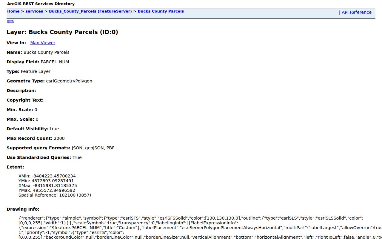
Layer List, Legend, Attribute Table, Bookmarks, Measurement, Draw, and Select make the map easier to interpret. The Warrington Township bookmark can orient a search. Measurement helps visualize distance, while the Attribute Table and Select tools preserve the parcel-level facts needed for the next step.
Warrington Township Tax Card
After selecting a nearby parcel, open the Bucks County Tax Claim search with the parcel number, address, or a surname-first owner entry. For an address, use house number and street only in the Location Address field. City and ZIP remain separate, and the Municipality menu includes Warrington Twp. The portal can return the property location, parcel number, school district, municipality, assessed value, current owner, mailing lines, deed book/page, and delinquent-tax fields.
The handoff is a record trail: address or parcel in GIS, parcel number retained, then a tax card for that exact parcel. Do not replace the map's geographic relationship with a guess about household membership. A tax-side owner may differ from the people currently present, and a mailing line can be a post-office box, representative, or another property. Those distinctions are especially important when comparing several nearby lots.
- Parcel
- A defined piece of land recorded and mapped by the County, usually identified by a parcel number.
- Situs address
- The property location used for the taxed parcel, which can differ from a correspondence address.
- Mailing address
- The destination for tax correspondence. It is not proof of who lives at the parcel.
- Deed pointer
- The book/page or instrument reference that connects a property card to a recorded transfer.
Recorder Links for Neighbors
A property card's deed book/page is the bridge to the Recorder. Retrieve the selected instrument through LANDEX or the Bucks County Recorder of Deeds research route. Read the grantor and grantee, execution and recording dates, legal description, and the Being Clause or recital that points to a prior transfer. Repeat the work parcel by parcel. Adjacent parcels can have different lots, plans, and title histories even when they share a street.
Older documents may describe a tract, subdivision lot, courses and distances, or adjoining land instead of a modern street number. Preserve the legal description and parcel identifier rather than forcing an old instrument into a current address. The County's research guidance says it does not perform a chain for visitors. For older material, Mercer holds Recorder grantor/grantee indexes for 1684 through 1919, an onsite route that complements the Recorder's records rather than a general neighbors list.
Warrington Township Voter Records
The public registration-status service is designed to confirm one person's record. It requires a name-identification route and date-of-birth information, with County used to narrow the result when requested. It is not a self-service tool for browsing Warrington Township neighbors. A Street List exists instead through the official voter-list request process, alongside the Public Information List, Walking List, and Full Voter Export.
The state form explains the limits. A Street List can include name, residential and mailing addresses, party, and active or inactive status. The broader products have their own listed fields. The request carries an attestation that voter information will be used only for the election, political, or law-enforcement purposes allowed by 25 Pa.C.S. §§ 1207(b) and 1404(c)(2), and the form states a $20 charge for county list products. It does not disclose ballot choices, and Address Confidentiality Program protections remain in place.
Use the official Pennsylvania voter-list request form when a request is authorized. The Bucks County Board of Elections is the local custodian for county election administration.
Warrington Township Civic Contacts
No official source reviewed supplied a neighborhood-association directory, member roster, or association-by-association contacts for Warrington Township. That gap matters. A community name, parcel pattern, or public event notice is not evidence that a person belongs to a group. A current civic directory needs a Township-provided page or the group's own public page with its current terms. Until then, do not create a neighborhood roster from scattered names.
The Warrington Township official site is the appropriate route for public municipal notices, departments, information, and records-request material. For historical context, the Warrington Historical Society is a separate preservation contact. Neither source supports an inferred list of neighbors or household members.
The Township's official navigation is shown here as the public civic contact route.
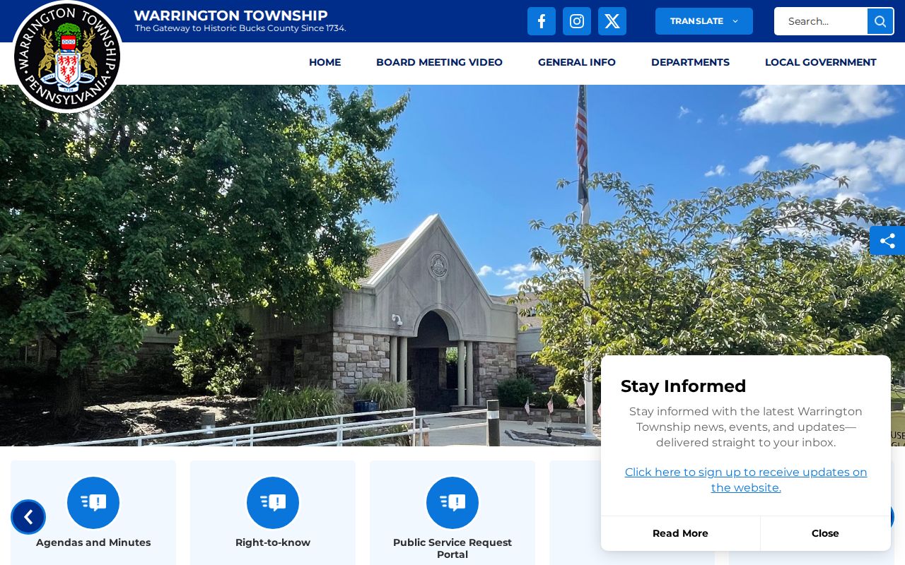
For a known development or address, the Township Building Office or a tailored Right-to-Know request can be an appropriate route for a specific plan, permit, or inspection record if it is releasable. Name the address, project, and date range. A request asking the Township to assemble all people associated with a block is not a request for an identified existing record.
Official and Commercial Neighbor Tools
Official records make the source and boundary visible. The GIS Viewer establishes mapped parcel geography. The tax portal provides a tax-side property card for one chosen parcel. The Recorder supplies a recorded transfer trail, and an authorized voter request has defined fields and purpose limits. Each result can be checked against the custodian that maintains it.
| Official record route | Commercial neighbor-lookup category |
|---|---|
| States its keeper, parcel or case scope, search method, and access boundary. | May combine information from different sources with varying update timing and matching methods. |
| Lets a reader return to the County or state custodian to resolve a mismatch. | Cannot replace a custodian record when a name, address, or ownership claim needs verification. |
| Shows a defined fact, such as a parcel, tax-side owner, or recorded instrument. | Should not be treated as proof of occupants, protected addresses, or household membership. |
For Warrington Township neighbors, comparison should lead back to the record that can actually answer the question. A map label is not a census, and a property field is not a complete account of a household.
Warrington Township Neighbor Limits
Pennsylvania's Address Confidentiality Program provides eligible participants a substitute address for specified records, including voter and court records. Chapter 67 of Title 23 addresses unauthorized disclosure of a participant's actual address. Public parcel material also cannot establish non-owner occupants. Utility customer information, vehicle records, private accounts, and protected addresses are not public block-research fallbacks.
The Pennsylvania statutes on stalking and harassment still apply when a deed, tax card, or public record was available. When a record appears wrong, preserve its source citation and contact the County or state custodian that maintains the underlying record.
Note: A no-result, absent map label, or protected field does not justify seeking private information through another channel.