
Warrington Township ZIP Code Coverage
Only one ZIP is verified in the reviewed official sources for the Warrington Township ZIP code directory: 18976. The Bucks County municipal directory lists the Township office at 852 Easton Road, Warrington, PA 18976. That supports an office mailing address, not a claim that every address with that postal label falls inside Township boundaries. No authoritative source reviewed identified a complete secondary ZIP list, a PO Box-only ZIP, a unique ZIP, or a postal realignment for the Township.
| ZIP | Verified area or use | Postal source | Record note |
|---|---|---|---|
| 18976 | Warrington postal label and Township office mailing address | Exact-address confirmation through USPS | Verified for the official Township office, not a universal municipal boundary. |
| Other delivery ZIPs | Not located in an authoritative Township or USPS source reviewed | Check the exact address with USPS | Deliberate gap: do not infer coverage from an unofficial map. |
| PO Box or unique ZIPs | Not located | Query the specific address or PO Box through USPS | Deliberate gap: no local list was verified. |
This limited Warrington Township table is more useful than an invented map of every neighborhood. Postal delivery is an address-by-address question, while parcel geography is a County record question.
The Bucks County Warrington Township municipal directory supplies the verified office mailing reference used for this ZIP code directory.
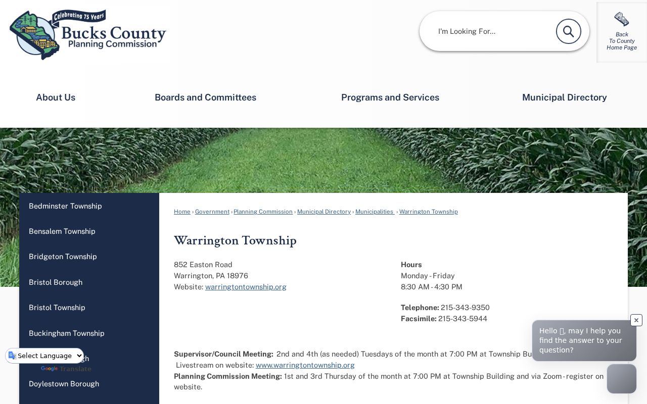
The municipal entry supports the Warrington Township office ZIP, while the address itself still needs USPS validation before it is assigned to another property.
USPS Warrington Township ZIP Verification
Use the USPS ZIP Code Lookup to verify a specific Warrington Township mailing address. The Township label on mail is not enough by itself. USPS assigns delivery geography, and the local municipal border, County parcel boundary, school-district line, and postal label can differ. Save the exact returned ZIP and address formatting before using it as a filter in another record system.
This is an address validation step, not a people search. A Warrington Township ZIP code directory can help group record work by postal area, but it does not establish who occupies a location or which residents are connected to an entire delivery route.
The USPS address lookup is the official starting point for confirming a Warrington Township delivery ZIP.
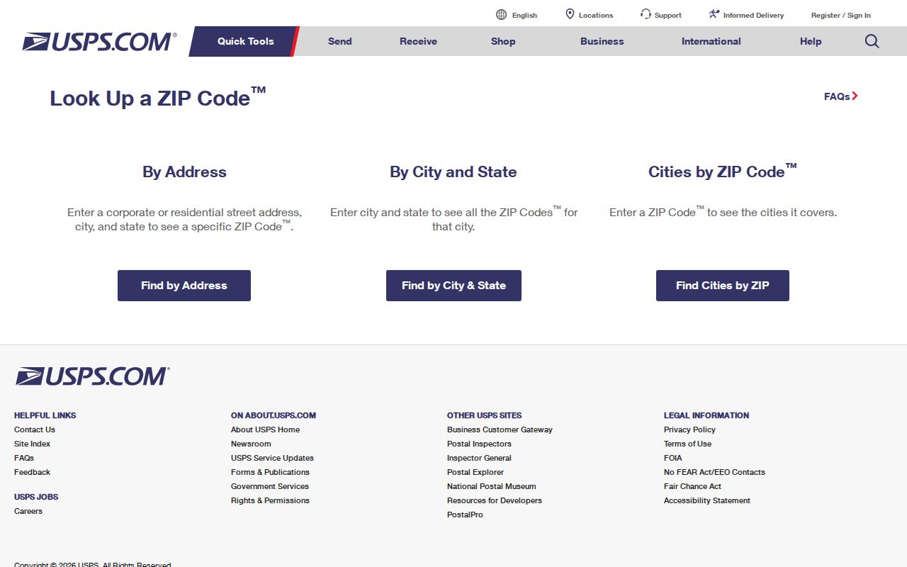
The USPS screen should be used with the full address at hand, then compared with the County municipality field when a Warrington Township parcel is the actual subject.
Warrington Township ZIP Directory Gaps
The Warrington Township research record has deliberate limits. It did not verify a Township-wide street grid, an address-renumbering year, a postal split, a ZIP realignment date, a city-limit annexation that changed local labels, or ZIP-level population and registration statistics. Those omissions should remain visible. A secondary ZIP should not be added because it appears on a non-authoritative map, and an unknown PO Box route should not be treated as a neighborhood code.
When official sources disagree or a map uses a broader Warrington Township place label, keep the returned values rather than forcing them into one answer. USPS resolves the delivery code for the address. The County tax search provides municipality and tax-side context. Bucks GIS tests the parcel’s mapped municipal setting. Together, those routes are stronger than a broad claim about ZIP coverage.
Warrington Township ZIP Code Search Steps
A ZIP can narrow a current Warrington Township property search once the postal value has been confirmed. The County Tax Claim portal contains a separate Zip field and a Municipality dropdown that includes Warrington Twp. Its output is a tax/property card, not a population list. Follow the sequence below to keep a ZIP code directory inquiry focused on the record actually available.
- Confirm the exact delivery ZIP through USPS, using the full mailing address.
- Open the Bucks County Tax Claim search and enter the ZIP in its dedicated field. Select Warrington Twp to distinguish municipal context.
- Add a house number and street only in Location Address, or use the parcel number when it is known. Keep city, owner, and mailing-address inputs in their own fields.
- Review the returned parcel, situs, municipality, current owner line, mailing lines, assessed value, and deed book/page as separate fields.
- Open the parcel in Bucks GIS to check map context. If the task becomes a particular address trail, continue with the Warrington Township streets record path.
Pennsylvania’s individual voter-status service is not a Warrington Township ZIP browse tool. A controlled voter-list request has its own geographic options, fees, and statutory-purpose conditions, so it should never be presented as a self-service ZIP roster.
Warrington Township Tax ZIP Fields
The Bucks County Tax Claim Online Payment Search is the ZIP-capable local property route. It lets a searcher combine the postal field with current address and municipality information. Its form directs the user to enter only a house number and street in Location Address. That instruction is valuable because a full mailing string, unit label, city, and ZIP may not behave like a general search-box query.
| Tax Claim field | Type | ZIP-oriented use |
|---|---|---|
| Parcel Number | Text | Use an exact County identifier when known. |
| Location Address | Text | House number and street only. |
| Municipality | Dropdown | Select Warrington Twp to apply a municipal check. |
| Zip | Text | Enter the USPS-confirmed postal value as its own filter. |
| City | Text | Use separately from ZIP and municipality. |
| Owner | Text | The portal gives surname-first examples. |
| Mailing Address | Text | Searches correspondence-address information. |
| School District | Dropdown | Provides an additional County filter when relevant. |
The Warrington Township property card can return the parcel number, property location, school district, municipality, assessed value, deed book/page, current owner, mailing lines, and tax-status fields. A correspondence address can be a post-office box, representative address, or another property. It should never be read as proof of household composition.
Warrington Township GIS ZIP Check
The Bucks Parcel & Floodplain Viewer confirms Warrington Township parcel geography differently from USPS. It provides Address Search, parcel search, municipal-zoning search, a parcel-number query, map drawing, and a Warrington Township bookmark. Its published configuration does not present ZIP as a primary parcel-search field. That is why the local ZIP code directory process uses the tax portal to filter and GIS to verify map context.
Parcel-number input has a stated hint such as 08-004-364. Keep leading zeros and punctuation exactly as the interface expects. A Warrington Township parcel number can be a modern County key, while an older recorded deed may depend on a lot, tract, plan, or legal description instead of a postal address.
Warrington Township ZIP Boundary Comparison
Warrington Township ZIP boundaries are delivery geographies, not municipal boundaries. The verified office ZIP, a Warrington mailing label, a County parcel municipality, and a school district each describe different systems. A ZIP-only tax search can therefore pull a postal result without proving that the parcel lies in Warrington Township. Select Warrington Twp, inspect the returned municipality, and use GIS if a municipal answer is needed.
Postal and Warrington Township property records also serve different functions. LANDEX is party and instrument research, not a ZIP roll. The GIS Viewer maps parcels but does not document a general owner-name interface. The Tax Claim portal provides a ZIP field but does not turn its tax card into a resident list. This comparison keeps a useful filter from becoming an unsupported conclusion.
Warrington Township ZIP Code Terms
Warrington Township postal terms are easier to use when they are kept separate from County parcel language. The definitions below describe the concepts without claiming that each kind of ZIP has been verified for Warrington Township.
- ZIP Code
- A postal delivery code assigned by USPS for an address or delivery area.
- ZIP+4
- An added four-digit delivery detail used with a base ZIP Code for more precise mail routing.
- PO Box ZIP
- A code used for post-office-box delivery, which may differ from a street-delivery code.
- Unique ZIP
- A ZIP assigned for a single organization or high-volume destination; none was verified locally in the reviewed sources.
- Carrier route
- A mail-delivery grouping used by USPS, not a municipal parcel boundary or a resident roster.
Note: Confirm a real address with USPS first, then retain the County parcel number and legal description for property-record research.
Historic Warrington Township Postal Names
Older Warrington Township research can use place labels that are more specific than a current postal assumption. The official comprehensive plan identifies the historic crossroads villages of Warrington, Neshaminy, Pleasantville/Eureka, and Tradesville. It also describes Easton, Bristol, County Line, and Street roads within the historic road pattern. A source may therefore use a village name or road intersection rather than the present Township mailing label.
That Warrington Township local quirk is useful when a deed, tax list, map, or historical notice does not match a modern street-address search. Preserve the source’s original place wording and compare it with the legal description or parcel context. Do not translate an old village reference directly into a modern ZIP Code without address-specific USPS and County confirmation.
The Bucks County municipal comprehensive-plan index provides the local planning context for these historic Warrington Township place names.
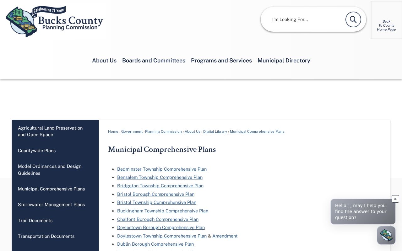
The planning source helps preserve historic Warrington Township geographic language without converting it into an unverified postal-coverage list.
Warrington Township ZIP Record Limits
A Warrington Township ZIP code directory can organize address research, but it cannot disclose protected addresses or establish everyone connected to a property. Mailing lines in a tax card are correspondence fields, not household lists. Utility customer records and driver or vehicle personal information are not legitimate public address-research substitutes. Pennsylvania voter information also follows a defined request process with legal limits, while an individual status check is private confirmation rather than a browse function.
Pennsylvania’s Address Confidentiality Program can provide a substitute address for eligible participants in specified records. Do not combine partial public Warrington Township records to identify someone’s protected location. If a property, election, or postal record seems wrong, preserve the source citation and contact the office that holds that record for its correction process.