
Locate Warrington Township Streets
For a named street, the most reliable Warrington Township path starts with a single address and stays tied to the parcel. The Bucks County Tax Claim search gives the current tax-side card. Its deed book and page pointer leads to the recorded instrument, while the Parcel & Floodplain Viewer places the parcel on the street. The voter-status service is for a person to confirm that person’s own registration. A street list is instead a controlled request product with a statutory purpose attestation. That difference matters when a street directory is used for legitimate property, family, or local-history research.
- Enter the house number and street only in the County Tax Claim Location Address box. Select Warrington Twp separately when the form needs a municipality.
- Save the returned parcel number, situs address, municipality, school district, current owner line, and deed book/page. Keep each value exactly as returned.
- Open the parcel in the Bucks map with Address Search or Search by Parcel Number. Use its layers and attribute table to see mapped parcel context.
- Use the deed pointer in LANDEX or the Recorder research room. Read the parties, recording reference, legal description, and recital before treating a transfer as part of a chain.
- When a permitted voter product is genuinely needed, use the state request form, choose the proper geographic product, and follow its purpose rules. Do not treat individual status confirmation as a street browser.
Each step narrows a record question. The result may identify a parcel or an ownership transaction, but it does not establish everyone who occupies a home.
Warrington Township Street Search Fields
The Bucks County Tax Claim Online Payment Search is the current-property starting point for a Warrington Township street directory search. It accepts an address, parcel number, owner, mailing address, city, ZIP, municipality, and school district. The instructions matter: Location Address is for a house number and street only, and owner examples use surname-first forms. City and ZIP are separate filters, so placing all of that information into the address box can produce a weaker search.
| County field | Input type | Verified use |
|---|---|---|
| Parcel Number | Text | Use the County parcel identifier as shown. |
| Location Address | Text | Enter the house number and street only. |
| School District | Dropdown | Choose a listed district or the all-district option. |
| Municipality | Dropdown | Includes Warrington Twp among County choices. |
| Owner | Text | Examples are surname first: Smith John or Smith, John. |
| Mailing Address | Text | Searches the correspondence-address field. |
| City and Zip | Text | Separate postal filters, not substitutes for municipality. |
| Search and Reset | Buttons | Run the chosen criteria or clear the form. |
A returned Warrington Township card can show the parcel number, property location, school district, municipality, assessed value, deed book/page, current owner, three mailing-address lines, and delinquent-tax information or an indication that no delinquent amount is due. The card is a tax/property record. It is not a replacement for the Recorder’s title index or a complete list of household members.
Warrington Township Parcels Along Streets
The Bucks Parcel & Floodplain Viewer supplies the geographic half of a by-address search. Its Search Map choices include Parcels, Municipal Zoning, and Address Search. The application also offers a parcel-number query with a hint such as 08-004-364, a Parcel Buffer tool, Layer List, Legend, Attribute Table, Bookmarks, Measurement, Draw, and Select. Warrington Township is one of the map bookmarks.
Use the map after identifying a parcel, not as a general owner-name directory. For Warrington Township parcel work, the published configuration documents parcel, zoning, and address tools, but not a general owner-name search. A point, line, or extent can be used with Parcel Buffer, which has a stated default of 100 feet. The output provides mapped context for selected parcels and should not be recast as a list of residents.
Recorder Links Warrington Township Streets
The property card’s deed book/page provides the bridge from a Warrington Township address to the Bucks County Recorder of Deeds. The Recorder reports records beginning in 1684 and directs online document research to LANDEX, a fee-based service. The County’s property-record guidance also provides an onsite public research room. Staff can give a short orientation or appointment, but they do not perform a title search for visitors. Recorded papers are public except military discharges.
The Recorder’s guidance describes direct and indirect party indexing. A direct party is normally the grantor or mortgagor, and an indirect party is normally the grantee or mortgagee. For a Warrington Township chain, start with the current instrument, then retain the parties, date, legal description, and any prior reference in its recital. The County divides historical recorded books into periods, and Mercer holds Recorder grantor/grantee indexes through 1919 for onsite research.
The LANDEX recorded-document search is the Recorder-recommended paid route for this part of the Warrington Township street directory process.

Use the visible service as a starting point after recording the book/page or party information, then verify any instrument against the Recorder’s record and applicable fees.
Note: An old deed documents a land transaction, not the age of a building or a complete record of people who lived at the address.
Warrington Township Permit Files
A known Warrington Township address may also have municipal project context. The Township’s Building and Code Enforcement office is the appropriate department for permit, inspection, plan, or enforcement context tied to a defined address. No public searchable Township lookup was verified. A targeted request should state the address, time period, and specific record category instead of asking the office to assemble a person profile.
The Warrington Township records route is separate from County property and Recorder systems. Pennsylvania’s Right-to-Know Law may be used for agency records, but it does not remove records-specific limits or make every requested item available. If an address is part of a historic property question, preserve its parcel number and time frame before contacting the department.
The Township Building and Code Enforcement page identifies the local office that handles this address-specific context.
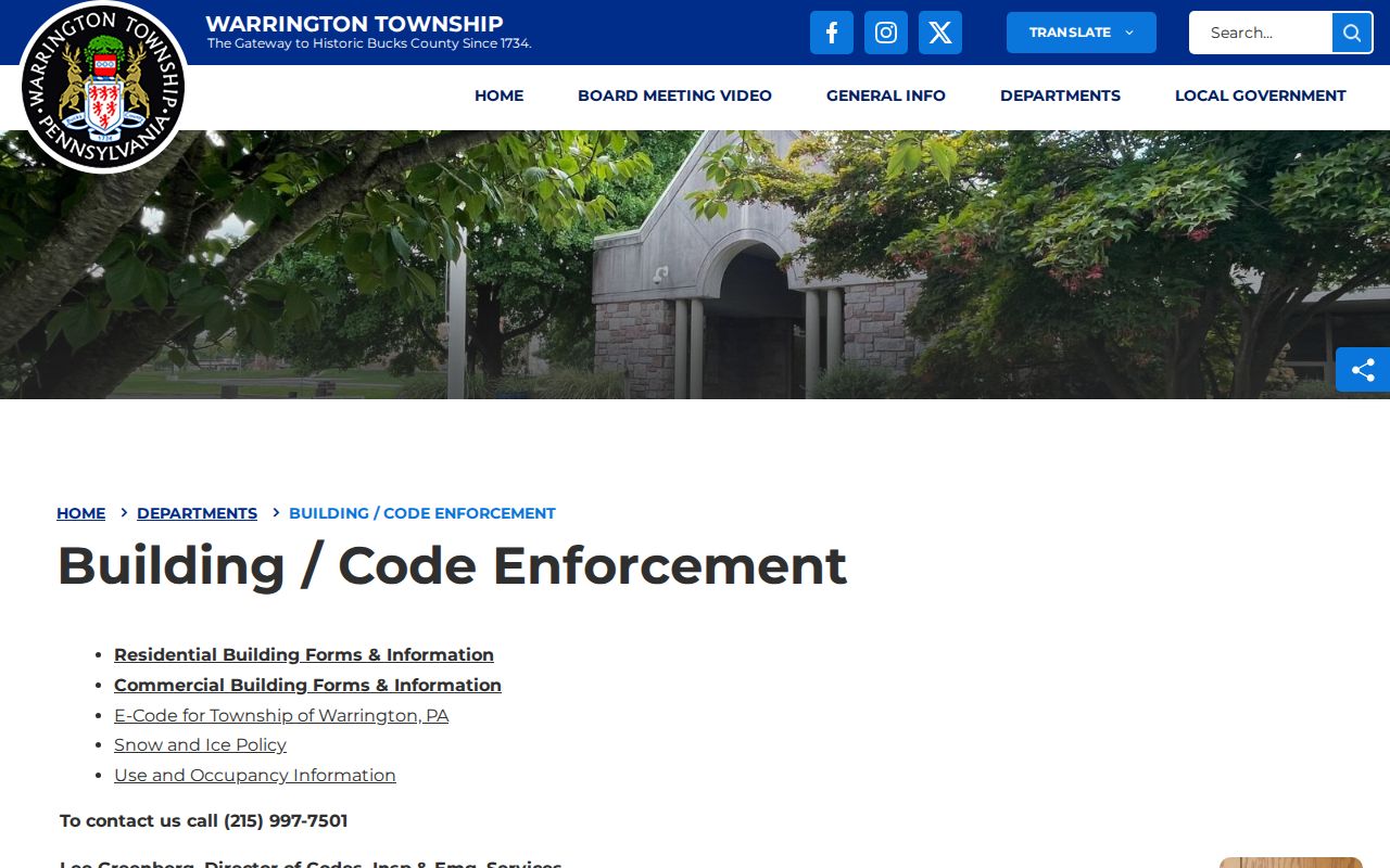
The department page supports a precise request path for a known location rather than an unsupported browse of private household information.
Warrington Township Street Permit Forms
Forms and permit information can help identify the record type to request before a Warrington Township street directory inquiry reaches the Township. They do not establish who lived at an address. Use the form title, address, and time period to make a focused Warrington Township request, and distinguish local project information from the County deed and parcel trail. That keeps the inquiry tied to the record custodian that can actually respond.
The Township building forms and permits information shows the municipal forms context available for a defined address question.
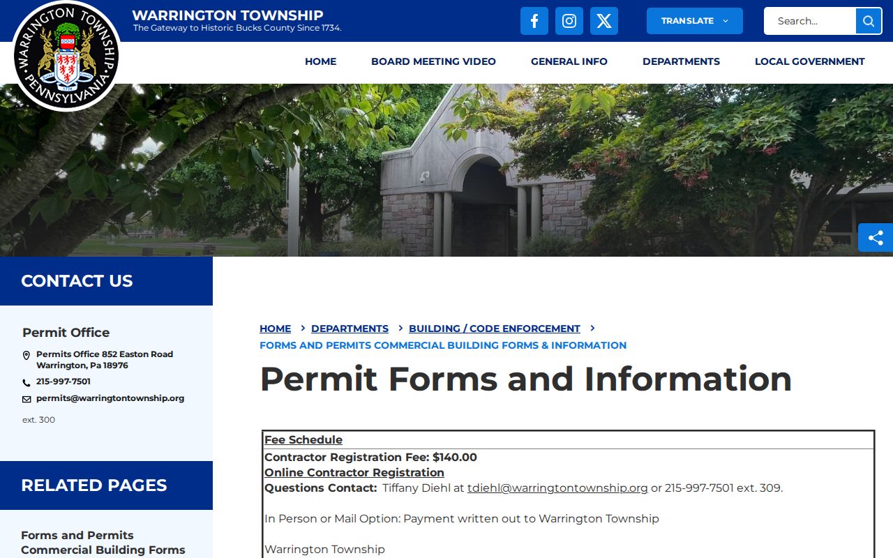
A form route can clarify the right municipal office, while the County property card and recorded instrument remain the sources for parcel and transfer information.
Old Warrington Township Street Numbers
A modern Warrington Township address may disappear in an older Bucks deed. The record can instead identify a lot, tract, subdivision plan, acreage, bearings, or adjoining land. This is a Warrington Township research quirk, not an error to solve by guessing a former number. The safer bridge is the parcel number, deed book/page, municipality, subdivision-plan reference, and recorded legal description.
- Parcel
- A defined property unit used by the County for tax and map records.
- Situs address
- The physical property location on the tax card, which can differ from the tax mailing line.
- Plat or plan
- A recorded map or subdivision reference that can connect a lot to its legal description.
- Criss-cross directory
- An address-arranged directory, if a verified collection exists; no Warrington run was confirmed in the reviewed sources.
The County did not document a Warrington Township-wide renumbering year, a local reverse-directory run, or a public house-history guide. For older Warrington Township research, ask Mercer or the Bucks County Archives which map, plan, tax list, or index is tied to the historic address, development, or time period.
Warrington Township Street Directory Records
Address-keyed Warrington Township records overlap, but they are not interchangeable. The tax card provides a current property and tax view. GIS provides geometry and map context. The Recorder supplies recorded transfer documents. Township material can provide a defined permit or plan context. The official voter-list route has its own permitted-use terms. Reading them as separate evidence prevents an address from being mistaken for a full household record.
| Address record | Keeper | Street-level value | Access route |
|---|---|---|---|
| Tax/property card | Bucks County Tax Claim portal | Parcel, situs, owner line, mailing line, deed pointer, assessed value | Public web search |
| Parcel map feature | Bucks GIS | Parcel shape, address, municipality, zoning and flood context | Public Viewer |
| Deed, mortgage, or plan | Bucks Recorder | Transfer parties, legal description, recording reference | LANDEX fee route or research room |
| Permit or inspection context | Warrington Township | Defined address and project context if releasable | Department or tailored request |
| Voter-list product | Pennsylvania election process | Defined public fields in a permitted geographic product | Official form and attestation |
For current Warrington Township street evidence, retain the source name and exact return values. For a past address, use the legal description and party chain instead of assuming a current street number existed in every historical document.
Warrington Township Street Lists
Pennsylvania distinguishes a person’s own registration-status check from public voter-list products. For Warrington Township, the state status service requires identifying information and is not a browse-by-street roster. The official voter-list request form, however, lists a Street List with name, residential and mailing addresses, party, and active or inactive status. It also lists a Walking List without a mailing address. Both are controlled products rather than an invitation to publish a broad resident compilation.
The form cites 25 Pa.C.S. §§ 1403(c) and 1404(b)(1), along with related regulations, and requires an attestation for uses authorized by statute. A Warrington Township requester selects the product and county or geographic scope, supplies identity and contact information, and pays the stated form fee when applicable. Ballot choices are not part of the listed street data. Protected addresses and sensitive application information have separate limits.
Note: Use the individual status route for personal confirmation, and use the State’s voter-list form only for a purpose the form permits.
Warrington Township ZIP Street Checks
ZIP is useful as a filter, but it is not a parcel boundary. The verified Warrington Township office mailing ZIP is 18976, and the Tax Claim form gives ZIP its own text field. Combine ZIP with Warrington Twp and an address or parcel when possible. The USPS ZIP Code Lookup should confirm delivery information for a specific address, while the GIS Viewer confirms whether the parcel is in Warrington Township.
The distinction avoids a common mix-up. A postal label, municipal border, school district, and parcel geography can diverge. Once a ZIP has narrowed an inquiry to a particular location, preserve the parcel and Recorder trail rather than treating the ZIP result as a street roster.
Warrington Township Street Privacy Limits
Public Warrington Township property information has firm boundaries. A parcel card or map feature cannot prove every non-owner occupant, and a mailing address may be a post-office box, representative address, or address for another property. Utility customer material and driver or vehicle personal information are not public fallbacks for address research. The federal Driver’s Privacy Protection Act limits motor-vehicle personal information, and Pennsylvania’s records laws do not override protected categories.
Pennsylvania’s Address Confidentiality Program provides eligible participants a substitute address for specified records. Do not combine partial Warrington Township records to expose a protected address. The state also treats voter-list access as a defined, purpose-limited request. Any error should be raised with the tax office, Recorder, election officials, or other custodian that holds the source record.
Warrington Township Property Scam Checks
Warrington Township property records can be misused in an urgent-looking solicitation. In February 2026, the Pennsylvania Attorney General warned about property-ownership scams. When a notice claims there is a deed or ownership problem, compare the claimed reference with the Recorder’s record and contact the Bucks County office through a phone number found on the official County website, not the number or payment link in an unsolicited message.
The Bucks County Recorder of Deeds advertises a free property-fraud alert and a free emailed copy of an owner’s deed on request. The alert is an awareness tool. It does not prove fraud or replace a careful review of a recorded instrument.